-40%
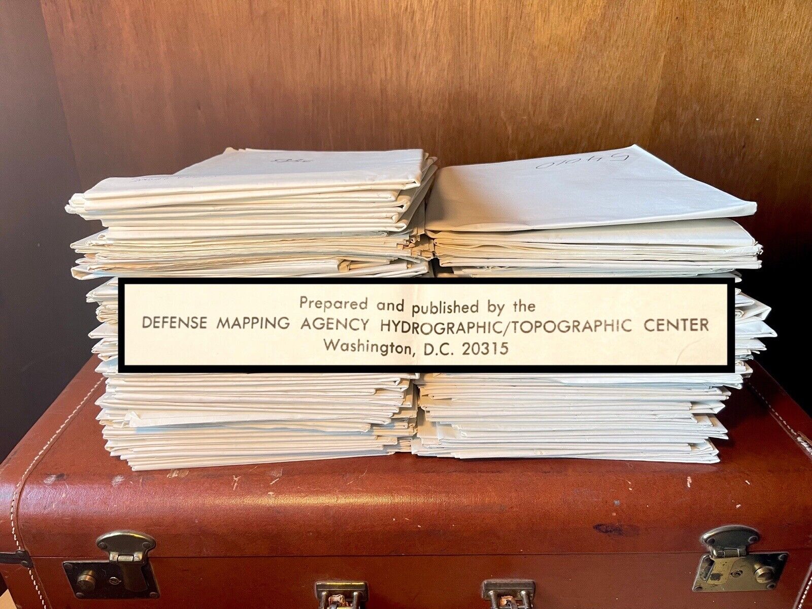
Lot of 128 Defense Agency International Hydrographic/Topographic Maps 1970s/80s
$ 105.6
- Description
- Size Guide
Description
Hydrographic/Topographic Maps. 37" x 50"This listing is for 128 Hydrographic/Topographic Maps, prepared and published by the Defense Mapping Agency Hydrographic/Topographic Center, Washington D.C. Loran-C Rates.
Maps appear to be from the 1970’s-1980’s. Below is a list of map numbers, quantity included, and the description notation made on the outside of each map.
Map # Quantity Location Notation
51002 1 Abores Is. N. Atlantic
51007 1 SW Coast of Portugal
51061 2 Azures Isl. N. Atlantic Ocean
51062 1 Azures Isl. N. Atlantic
51082 2 Sao Miguel Island Azures N. Atlantic Ocean
51140 1 SW Coast of Portugal
51141 4 Lisbon, Portugal
51159 1 Huelva, Spain
51165 2 Cadiz, Spain
51200 1 Morocco W. Coast
51440 1 Western Sahara, Africa
51500 1 Cape Verde Islands N. Atlantic Ocean
51620 1 Sierra Leone, Africa
52000 4 Alburan Sea
52010 8 Balearic Basin
52020 9 Libra, Tumsia, Italy
52042 4 Tangiers, Morocco
52047 3 Melilla, Morocco
52062 1 Cartagena, Spain
52080 2 Spain SE Coast
52240 1 Algerian Coast
52122 1 Barcelona, Spain
52143 3 Menorca Balearic Islands
52144 2 Palma de Malloroa
52183 2 Banzart and Manzil Bu Ruqavban, Tunisia
52200 1 Algeria + Tunsisia
52240 1 Algerian Coast
53020 6 Tyrrheman Sea
53060 1 Marseille, France
53106 1 Spezia, Italy
53164 3 Maples, Italy
53262 1 Cagliari, Sardinia
53268 1 Cagliari, Sardinia
53281 1 Sardinia NW Coast
54010 1 Ionian Sea
54015 4 E. Med + the Sea of Crete
54060 1 Gulf of Taranto, Italy
54061 4 Taranto, Italy
54082 1 Brandisi, Italy
54160 1 Gulf of Trieste, Goslavia
54163 1 Trieste, Yugoslavia
54281 3 Plans in the Ionian/Greece, Albania
54289 1 Gulf of Corinth
54301 5 Kalamal, Greece
54303 3 Greece, S. Coast
54318 3 Kriti (Krete) Northwest Coast
54322 2 Crete, Greece
54324 8 Crete, NW Coast
54328 1 Plans in the Kikladhes, Aegean See
54330 7 Plans in the Aegean Sea
54333 2 E. Coast of Crete
54334 2 Plans in the Aegean
54335 1 Misos Andros, Greece
54339 2 Elevsinus, Greece
Condition: Good. Majority have the numbers, edition, and description written in permanent marker on outside, and these marks do bleed through. Please note maps are folded. These will be packaged with care and mailed as is.


